Do pilots use GPS?
Do Pilots Use GPS?
GPS (Global Positioning System) in contemporary society is very popular and used widely in flying and navigation. Almost all the commercial and private aircraft in use today are fitted with GPS units, and pilots depend on them for many issues relating to flying. This article provides insights on how and why pilots use GPS, with a focus on its operational use.
GPS Global Positioning System: It is a satellite-based navigation system that can provide geographical location and time information anywhere in the world.
GPS is the short form for Global Positioning System. Often used in military affairs and also in business and commerce, it is a system of satellites located in space that convey coded signals perpetually. These data signals are also intercepted by the GPS receivers on the ground or in aircraft. Through the elapsed time between the signal being transmitted by a satellite and the time it reaches the GPS receiver, the GPS receiver can then calculate the distance to the said satellite. These position coordinates, obtained by using distance measurements from multiple satellites, enable the receiver to determine the latitude, longitude, and altitude of its position.
GPS is capable of delivering real-time position, velocity, and time of any geographical point of the earth to pilots. It is effective irrespective of the weather and is operational at all times. Civilian GPS precision was once deliberately reduced by the US military selective availability but this was removed in the year 2000. Current consumer civilian GPS receivers have an accuracy of about 15 meters which is quite far from the military receivers. Aviation applications have higher sensitivity receivers which offer even better data accuracy.
The following is about how pilots use GPS in their operations:
Pilots use GPS in numerous ways:
1. Primary Navigation:
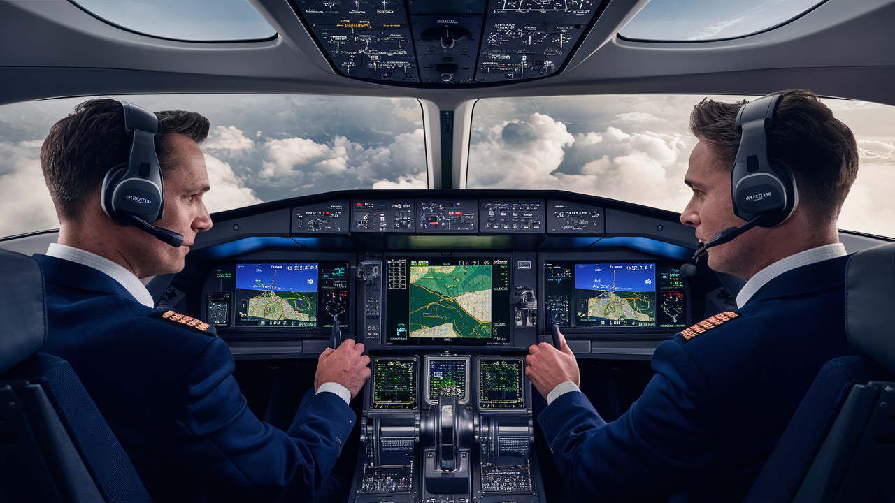
GPS is the most common source of navigation information for a pilot, sometimes being the only one other than established VORs, NDBs, and pilotage. GPS supplies accurate and continuous position data, which enhances intraflight awareness. GPS navigation also eases the burden of pilots and helps to control the flight with less concern for the navigational aspects.
2. Enroute navigation:
GPS enables pilots to fly along airways or route plans leading to the various points of destination. GPS units depict the aircraft's position relative to a moving map familiar with airspace, terrain, airports, and more. Some of the GPS units also come with multifunction displays and autopilot; this makes navigation quite easy.
3. Approaches and landings:
Accuracy in lateral and vertical navigation is making it possible to get to more airports and runways than were possible with the ground-based approaches, especially in parts of the world where such aids may not have been installed. GPS is also used in non-recision approaches. Furthermore, GPS feeds navigation data directly into the flight management systems that are employed on approach to landings during marginal visibility.
4. Search and rescue operations:
Information provided by the GPS such as the location of the aircraft or the path it is flying can be helpful when aircraft are lost or in an emergency. More accurate positioning can be done when it comes to the crash sites or the last known position of the vehicle. Some transmitters can even make and transmit automated GPS location reports in cases of an incident.
5. Mapping and surveying:
It performs highly accurate aerial surveying, terrain mapping, and inspection of infrastructure using GPS. Using GPS pilots are in a position to georeference images and other data for various map and planning purposes. Crop dusters, for example, utilize GPS to ensure the accurate application of fertilizers and pesticides.
6. Tracking and situational awareness:
GP flight recorders and transponders make it possible to indicate where the aircraft is in real-time to other aircraft and to air traffic control. GPS data also serves as an important feed for the calculation of traffic collision avoidance systems.
Equipment and Accessories Most Aircraft Possess A GPS System
Today, an overwhelming majority of commercial jet transport aircraft are equipped with at least two GPS sets as parts of their highly developed flight management systems. Regional airliners have GPS navigating built into the flight display system with approaches being able to be flown fully on autopilot. Business jets have integrated avionic GPS receivers with flight planning systems as well as multifunction displays.
In private and general aviation aircraft, common GPS systems are:
1. Portable GPS handhelds:
These are portable devices with screens where information can be displayed to the pilot preferably at a close range to the pilot's position of the position information. These devices usually depict the flight progress as a moving map together with other related information. Some base maps may contain detailed features while others are more simplistic and their navigational options may depend on the model and the price. Starter prices for the portable handheld units are about $199.
2. Panelmount GPS:
These built-in GPS receivers are hardwired for permanent mountings on the instrument panel and the aircraft's electrical system. Their ergonomics are better integrated in this regard. Panel-mount GPS units started from simple small units with few displays to advanced GPS devices with many options like satellite communication and traffic avoidance systems. Price: Most costs are between 800 dollars and 10,000 dollars.
3. iPad GPS flight apps:
Many of them, like ForeFlight and Garmin Pilot convert an iPad into an awesome-looking cockpit GPS instrument. They connect to outside GPS receivers to show position and direction information in real-time on maps, charts, and flight plans, plus other information. Some apps are free while others are paid, though most of them come with paid features that can go up to $200 per year.
4. Smartphone apps:
There are also GPS navigation apps for smartphones. However, most pilots find that an iPad has a larger screen, which is important for tracking their flight path. Smartphones also require the aid of another GPS receiver to achieve sufficient signal strength within the cockpit. Still, it is possible to turn to the smartphone GPS app to help out in case of need for simple directions.
Advantages for Pilots
GPS provides many benefits to pilots: GPS provides many benefits to pilots:
- Improved orientation with a high degree of accuracy
- Eliminate certain tasks that should be done in the cockpit to avoid burdening the pilots with too many responsibilities while in the air.
- By using the above equation, it is easier to arrive at the correct times.
- Enhanced capabilities to more runways and getting closer to them through an instrument approach.
- Useful for feeding information to weather shun & traffic information systems
- In an emergency special data for searching for victims and assisting them.
- Flights that take less time save time, energy, money, and other resources such as fuel.
As for the weakness of GPS in terms of signal disruption, backups including inertial navigation systems do not allow for significant failures. Due to the greater benefits, GPS has transformed aviation navigation as pointed out in the earlier sections of this paper. Modern pilots have made GPS technology their go-to in a pilot toolkit. It offers unrivaled accuracy, dependability, and context awareness the four cornerstones of aviation safety and control.